The East of England has a fascinating and valuable Earth heritage.
‘Geodiversity’ describes our heritage of rocks, soils, landforms and their formative processes which make up the landscape.
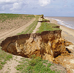
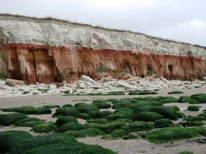
The region’s geodiversity ranges from the chalk hills of Bedfordshire to the sandy, coastal 'crags' of Suffolk; from the wind-swept beaches of Norfolk to the Fenland soils
of Cambridgeshire; from Hertfordshire's chalk streams to the tidal marshes of Essex.
Geo-East is a partnership of organisations active in conserving and promoting Earth heritage in the six counties of the region.